Virtual Vistas: Digital Technologies to Visualize EarthIn this section, students will find brief descriptions of interesting or
unique geologic settings that illustrate some of the processes and phenomena
studied in each chapter - but with a 21st Century twist. During the last decade
or so, many maps and other sources of geospatial data have been converted
or acquired using digital technologies of various kinds.
 <a onClick="window.open('/olcweb/cgi/pluginpop.cgi?it=jpg:: ::/sites/dl/free/0072402466/30425/VirtualVista2104.jpg','popWin', 'width=NaN,height=NaN,resizable,scrollbars');" href="#"><img valign="absmiddle" height="16" width="16" border="0" src="/olcweb/styles/shared/linkicons/image.gif"> (141.0K)</a> <a onClick="window.open('/olcweb/cgi/pluginpop.cgi?it=jpg:: ::/sites/dl/free/0072402466/30425/VirtualVista2104.jpg','popWin', 'width=NaN,height=NaN,resizable,scrollbars');" href="#"><img valign="absmiddle" height="16" width="16" border="0" src="/olcweb/styles/shared/linkicons/image.gif"> (141.0K)</a>
Whereas geologists once relied on large format paper maps to depict many
geologic associations, the ability to visualize geologic phenomena using digital
data is an increasingly valued tool among research geologists of the 21st
Century.
 <a onClick="window.open('/olcweb/cgi/pluginpop.cgi?it=jpg:: ::/sites/dl/free/0072402466/30425/VirtualVista1201.jpg','popWin', 'width=NaN,height=NaN,resizable,scrollbars');" href="#"><img valign="absmiddle" height="16" width="16" border="0" src="/olcweb/styles/shared/linkicons/image.gif"> (97.0K)</a> <a onClick="window.open('/olcweb/cgi/pluginpop.cgi?it=jpg:: ::/sites/dl/free/0072402466/30425/VirtualVista1201.jpg','popWin', 'width=NaN,height=NaN,resizable,scrollbars');" href="#"><img valign="absmiddle" height="16" width="16" border="0" src="/olcweb/styles/shared/linkicons/image.gif"> (97.0K)</a>
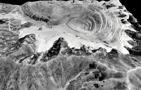
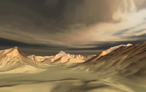
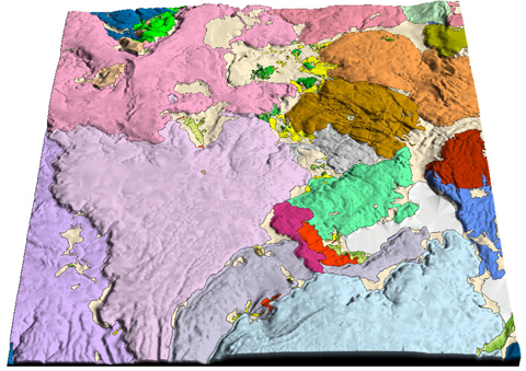
For each chapter of this Online Learning Center, a "virtual vista"
was created from publicly available geospatial data sets - digital maps of
topography or geology, digital terrain data, and digital aerial photographs
were combined to create realistic views of interesting geologic locations
or phenomena.
 <a onClick="window.open('/olcweb/cgi/pluginpop.cgi?it=jpg:: ::/sites/dl/free/0072402466/30425/VirtualVista1102.jpg','popWin', 'width=NaN,height=NaN,resizable,scrollbars');" href="#"><img valign="absmiddle" height="16" width="16" border="0" src="/olcweb/styles/shared/linkicons/image.gif"> (191.0K)</a> <a onClick="window.open('/olcweb/cgi/pluginpop.cgi?it=jpg:: ::/sites/dl/free/0072402466/30425/VirtualVista1102.jpg','popWin', 'width=NaN,height=NaN,resizable,scrollbars');" href="#"><img valign="absmiddle" height="16" width="16" border="0" src="/olcweb/styles/shared/linkicons/image.gif"> (191.0K)</a>
It is hoped that the short descriptions and imagery that accompany each "Virtual
Vista" will intrigue you (and perhaps even your professor!) in such a
way that you will be motivated to learn more on your own. The samples provided in this Online Learning Center are but a very small
peak into the fascinating (and growing) area of digital geology. Enjoy!
| 
